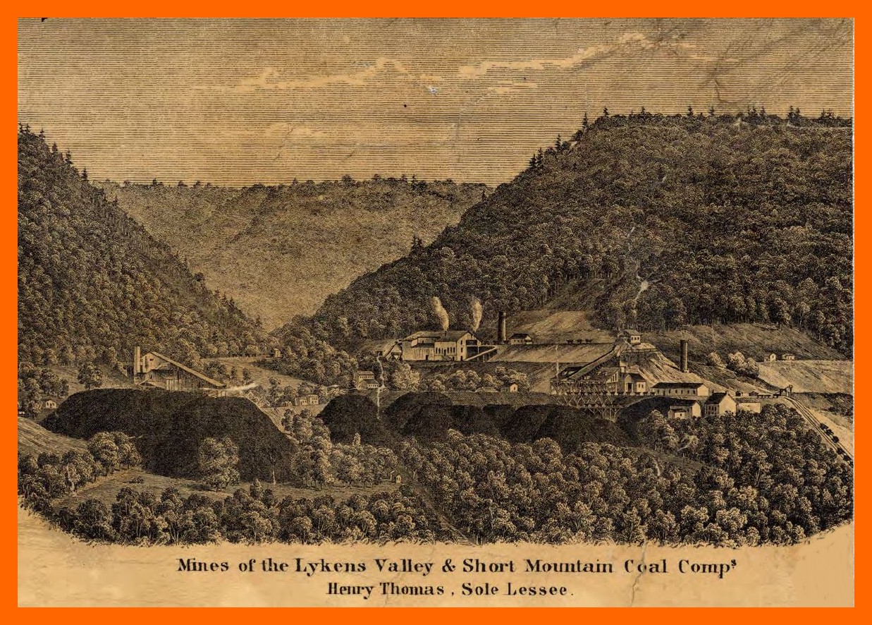
An old print labeled “Mines of the Lykens Valley and Short Mountain Coal Companies, Henry Thomas, Sole Lessee,” was an illustration on an 1862 map of Dauphin County, Pennsylvania. It shows an artist’s rendition of the coal company operations in Bear Gap. At the left is Short Mountain and at the right is Big Lick Mountain. Between the two is Coal or Thick Mountain. At the time, mining was done through two tunnels, one working down and west through Short Mountain (Short Mountain Tunnel), and the other working down and east through Big Lick Mountain (Lykens Valley Tunnel). The operations together were referred to as those of the Lykens Valley Coal Company. They continued in the manner shown until 1870, when two slopes were constructed, the west one known as the Short Mountain Double Slope, burrowing north and down under Coal Mountain, and the east one known as the Lykens Valley Slope, burrowing north and down, and parallel with the other.
Corrections and additional information should be added as comments to this post.
_______________________________
The map from which the above print was taken can be found at the Pennsylvania State Archives and was published by A. Pomeroy of Philadelphia, 1862.