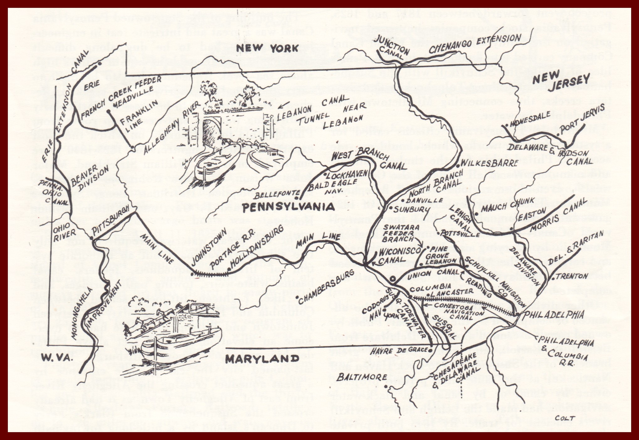
A map of the Pennsylvania Canal System as it supposedly existed in the mid-19th century. However, the Wiconisco Canal, shown on the map is incorrect in its location. It entered the area of the Susquehanna River in the location of Millersburg, north of junction of the Juniata River with the Susquehanna River, not south of that junction as shown on the map. However, the Wiconisco Canal, did connect with the Susquehanna River canal system with the intention of also connecting with the Juniata River canal system at Clark’s Ferry,
The map is from Leaflet No. 1, published by the Pennsylvania Historical and Museum Commission in 1969.
The Wiconisco Canal was an important east-west transport route, particularly for coal, prior to the railroad era in the Lykens Valley.
