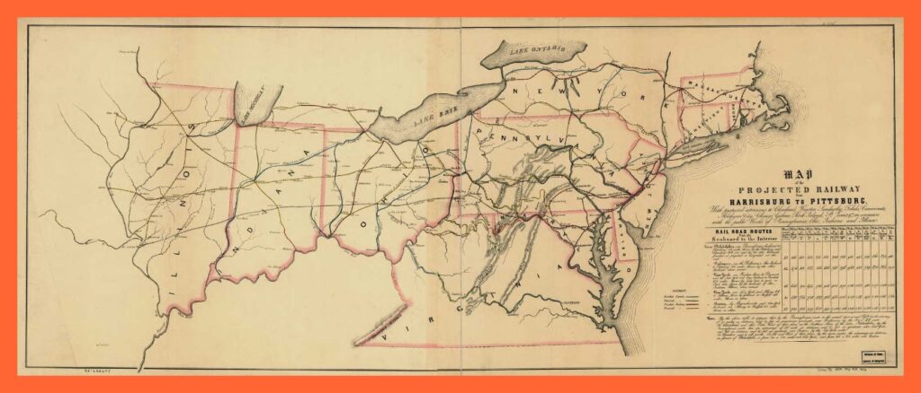
An 1840 map showing the railroad network of Pennsylvania and neighboring states, including the projected railway from Harrisburg to Pittsburgh. The map also has a table with the distance in miles from the seaboard to the interior.
While there are no communities identified in the Lykens Valley area, the map does show the Northern Central Railroad line going up the east bank of the Susquehanna River from Harrisburg to Sunbury.
An enlargeable and downloadable copy of this map is available from the Library of Congress and/or the map collection of Ancestry.com.
________________________________________
Corrections and additional information should be added as comments to this post.
