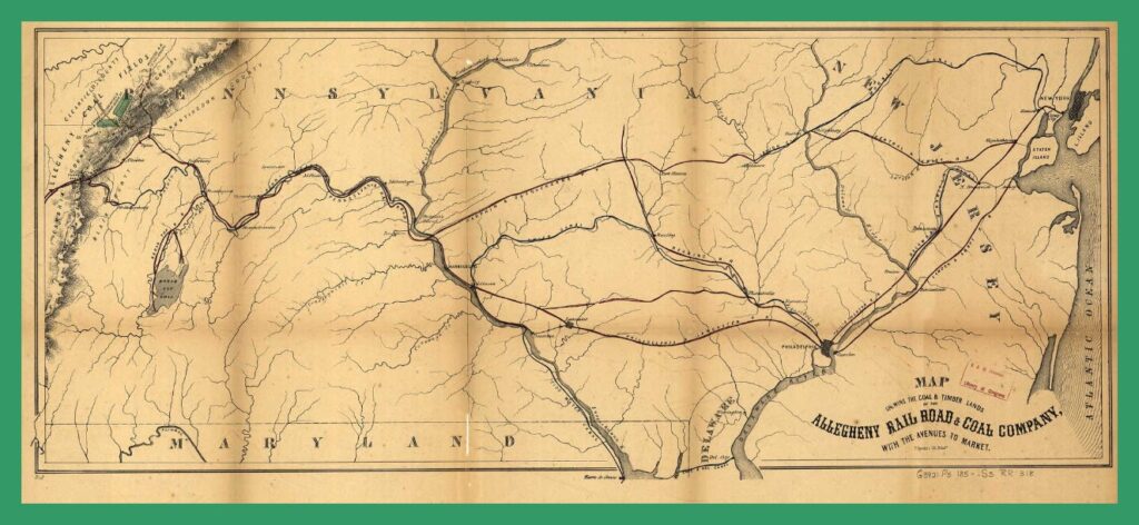
An 1850 map showing the operations of the Allegheny Railroad and Coal Company in Pennsylvania, “Serving the Coal and Timber Land with the Avenues to Market.”
Designated on the map are the Pennsylvania Canal, the Union Canal, the Pennsylvania Railroad, the Dauphin and Susquehanna Railroad, the Reading Railroad, the Philadelphia and Lancaster Railroad, and several others.
There are no communities indicated between Harrisburg and Sunbury, but Duncan’s Island in the Susquehanna River is noted.
An enlargeable and downloadable copy of this map is available from the Library of Congress and/or the map collection of Ancestry.com.
________________________________________
Corrections and additional information should be added as comments to this post.