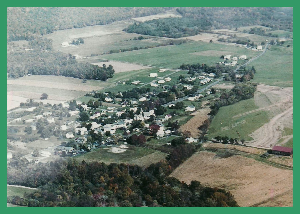
An aerial photo of Loyalton, Dauphin County, Pennsylvania, estimated to be taken around 1975. Shown is the main road through Loyalton, Route 209, from the west (bottom of the picture), to the east (top of picture).
The road running approximately horizontally across the picture, is the Crossroads (to the left side of the picture) and Oakdale Station Road (to the right side of the picture). It is not clear in the picture, but if there is a covered bridge on Oakdale Station Road, then this aerial view was taken prior to Hurricane Agnes in 1972, when the bridge was completely destroyed.
Corrections and additional information should be added as comments to this post.