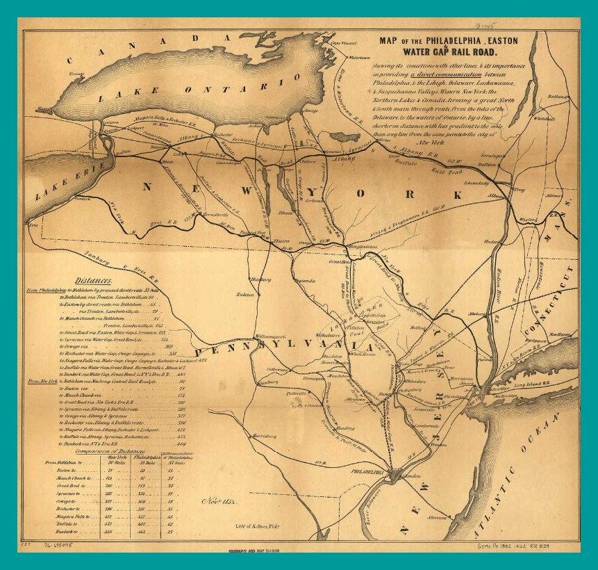
An 1852 map of the Philadelphia, Easton Water Gap Railroad, showing in perspective the location of Harrisburg, Sunbury and Pottsville. Existing railroad routes are not shown for the Lykens Valley area.
An enlargeable and downloadable copy of this map is available from the Library of Congress and/or the map collection of Ancestry.com.
________________________________________
Corrections and additional information should be added as comments to this post.