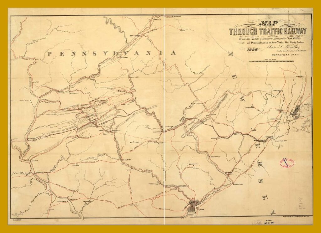
A post-Civil War (1868) railway map of Pennsylvania and New Jersey, including the Lykens Valley Railroad, operating in the southern anthracite coal fields to New York via Perth Amboy, New Jersey.
Places on this map that are of interest to this blog are Dauphin Borough, Millersburg, Tremont and Pine Grove. There are some errors, including that there is no bridge crossing the Susquehanna River at Millersburg.
An enlargeable and downloadable copy of this map is available from the Library of Congress and/or the map collection of Ancestry.com.
________________________________________
Corrections and additional information should be added as comments to this post.
